SANTIS, Switzerland
// 5 aerial photographs
Santis, Switzerland from above: a beige summit station and red-and-white mast on a limestone crest, melting snowfields and green hills fading to a hazy lake.
SANTIS, Switzerland is a drone session in flight_log: 5 aerial photographs, each one pinned where it was shot on a 3D reconstruction of the real terrain, built from elevation and map data.
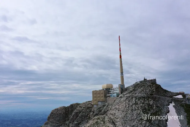 SANTIS, Switzerland - aerial drone photograph (1 of 5) - Low, level view across a bare limestone summit ridge where a beige concrete complex with a rounded rooftop pod and a tall red-and-white banded transmission mast sits on the rock, railed walkways and a small patch of leftover snow running along the crest under a flat grey overcast sky. Aerial drone photograph over SANTIS, Switzerland from 47.24369691653133, 9.352712631225588 on 2024-07-14. Exposure 100 · f7.1 · 10mm.
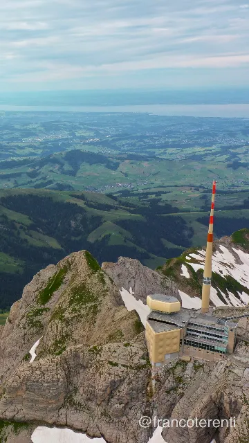 SANTIS, Switzerland - aerial drone photograph (2 of 5) - Vertical framing looking down past a beige summit building and its towering red-and-white mast clinging to a snow-streaked rock crest, with layered green ridges, scattered farms and hamlets falling away to a pale haze-covered lake and a soft blue-white cloudy sky. Aerial drone photograph over SANTIS, Switzerland from 47.24148265325081, 9.339580535888674 on 2024-07-14. Exposure 100 · f5.6 · 10mm.
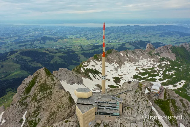 SANTIS, Switzerland - aerial drone photograph (3 of 5) - Wide elevated view over a jagged limestone crest topped by a beige complex, a rounded gold rooftop pod and a slender red-and-white mast, large snowfields filling the shaded bowl behind it while green rolling hills, pastures and villages stretch to a hazy lake on the horizon. Aerial drone photograph over SANTIS, Switzerland from 47.257271823208065, 9.344472885131838 on 2024-07-14. Exposure 100 · f5.6 · 10mm.
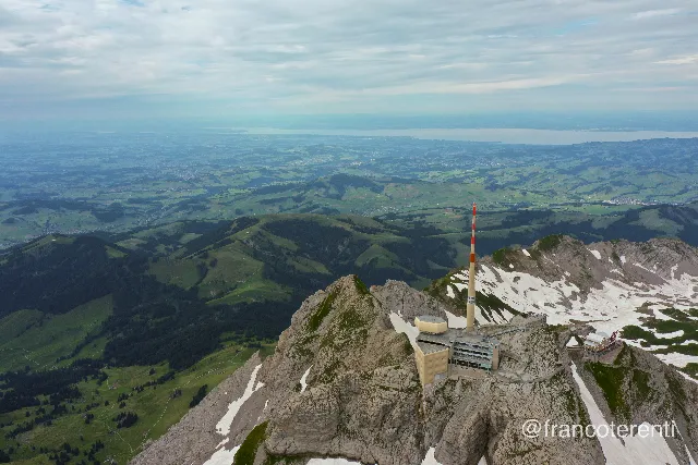 SANTIS, Switzerland - aerial drone photograph (4 of 5) - High vantage over a grey rocky summit with a beige building, terraces and a red-and-white banded mast perched on the edge, snow patches lining the ridge to the right and a vast expanse of green hills, forest and settlements fading into a pale lake and overcast sky. Aerial drone photograph over SANTIS, Switzerland from 47.25132958838516, 9.354257583618166 on 2024-07-14. Exposure 100 · f5.6 · 10mm.
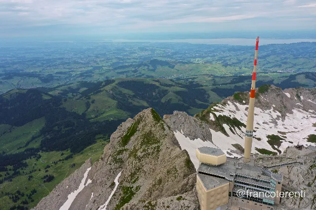 SANTIS, Switzerland - aerial drone photograph (5 of 5) - Steep rock arête with a beige summit complex and tall red-and-white mast in the lower right corner, broad melting snowfields on the shaded flank, and dark green pastures, wooded ridges and scattered farms receding to a hazy lake under thin grey cloud. Aerial drone photograph over SANTIS, Switzerland from 47.249057381208665, 9.331769943237306 on 2024-07-14. Exposure 100 · f5.6 · 10mm.